 Geopal
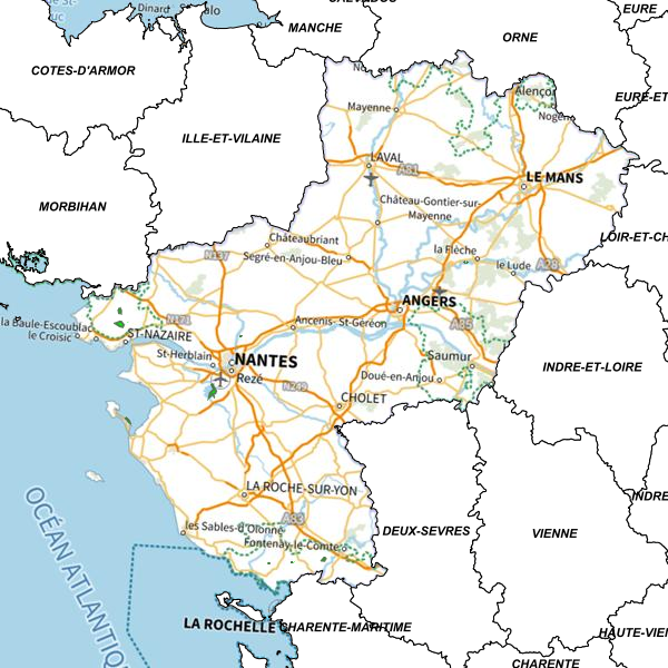
Carte régionale de référence
Carte régionale intégrant les dernières photographies aériennes de la plateforme Géopal, le référentiel France Raster ainsi que des photographies aériennes de 1950.
Simple
Identification info
- Date (Publication)
- 2011-03-31T17:57:00
- Place
-
- PAYS DE LA LOIRE
- INSPIRE Service taxonomy
-
- infoMapAccessService
- Domaines
-
- Grand public
- Scan
- Partenaires GEOPAL
- Service Type
- invoke
- Description
- Pays de la Loire
N
S
E
W
))
- Coupling Type
- Tight
Contains Operations
- Operation Name
- Accès à la carte
- Distributed Computing Platforms
- Web services
Contains Operations
- Operation Name
- Accès au fichier PDF de la carte
- Distributed Computing Platforms
- Web services
Contains Operations
- Operation Name
- Accès à la carte interactive
- Distributed Computing Platforms
- Web services
- Connect Point
- https://catalogue.geopal.org/geosource/consultation?id=30831 ( WWW:LINK-1.0-http--link )
Contains Operations
- Operation Name
- Accès à la carte interactive
- Distributed Computing Platforms
- Web services
- Connect Point
- https://catalogue.geopal.org/geosource/consultation?id=30831 ( WWW:LINK-1.0-http--link )
Coupled Resource
- Operation Name
- GetCapabilities
- Identifier
- 09d7b811-d808-40fe-bd7f-d454f90a827c
Coupled Resource
- Operation Name
- GetCapabilities
- Identifier
- ac092b5f-6c5a-43db-aba2-9b713e296566
Coupled Resource
- Operation Name
- GetCapabilities
- Identifier
- f59cc1ac-27b7-4b94-9f55-907ad66e9290
Coupled Resource
- Operation Name
- GetCapabilities
- Identifier
- 6076a5f6-faa6-4351-82f9-07503ebce2a1
Coupled Resource
- Operation Name
- GetCapabilities
- Identifier
- e3198633-4e64-4c08-88ed-c1fef91ac84d
Coupled Resource
- Operation Name
- GetCapabilities
- Identifier
- 42c4efbe-264c-4f38-825a-f5abab5217c9
Coupled Resource
- Operation Name
- GetCapabilities
- Identifier
- a96ceaca-680f-4789-a687-3ca25b9bb907
Coupled Resource
- Operation Name
- GetCapabilities
- Identifier
- 9b1db44a-37b0-463b-a7a2-604a0742489f
Coupled Resource
- Operation Name
- GetCapabilities
- Identifier
- cfd362ad-f442-40b7-8078-484ff8f67812
Coupled Resource
- Operation Name
- GetCapabilities
- Identifier
- 7d3e1395-3f01-4ed3-aeaf-8d11d107650c
Coupled Resource
- Operation Name
- GetCapabilities
- Identifier
- 1934282c-9481-4320-b590-10d9e8a04573
Coupled Resource
- Operation Name
- GetCapabilities
- Identifier
- b7005c1c-0331-4933-b189-741f18c704bd
Coupled Resource
- Operation Name
- GetCapabilities
- Identifier
- 56b02226-ff1c-43c1-b348-61432a1cc4df
Coupled Resource
- Operation Name
- GetCapabilities
- Identifier
- a8459661-b0a5-44ca-bc66-80f742ed0a48
Coupled Resource
- Operation Name
- GetCapabilities
- Identifier
- 31191f9e-3d31-4cd8-80c0-c9e834ef87e3
Coupled Resource
- Operation Name
- GetCapabilities
- Identifier
- a8f11fe0-399b-4e87-a032-73105747ee16
Coupled Resource
- Operation Name
- GetCapabilities
- Identifier
- a82cfb8c-291b-4140-a51e-27097c52f3c3
Coupled Resource
- Operation Name
- GetCapabilities
- Identifier
- 07602f12-e02e-416a-8cb6-b5038a540a2a
Coupled Resource
- Operation Name
- GetCapabilities
- Identifier
- 5885f762-6866-4a58-b522-50bd672258bb
Coupled Resource
- Operation Name
- GetCapabilities
- Identifier
- be95be0f-6ee3-4103-bdf8-b2a20970a6d4
Coupled Resource
- Operation Name
- GetCapabilities
- Identifier
- ab45bced-1ff5-4b82-b7e3-77c242c5f8d1
Coupled Resource
- Operation Name
- GetCapabilities
- Identifier
- fe03f640-2ffc-4a64-93d0-5ffae82d2e21
Coupled Resource
- Operation Name
- GetCapabilities
- Identifier
- f5f3cae9-cc88-47ad-aba0-99df1f1d02af
Coupled Resource
- Operation Name
- GetCapabilities
- Identifier
- 99fb8bba-25ae-4d41-9a71-81686c0b023e
Coupled Resource
- Operation Name
- GetCapabilities
- Identifier
- 3ec8676c-682e-4f90-b1e2-e45f13bc4c61
Coupled Resource
- Operation Name
- GetCapabilities
- Identifier
- 522eebdf-25c3-4b82-b844-882becb8f62c
Coupled Resource
- Operation Name
- GetCapabilities
- Identifier
- 4b443f23-1113-42be-8689-822193e97e5e
Coupled Resource
- Operation Name
- GetCapabilities
- Identifier
- 0a6cc06a-b8bc-46b6-ad2c-32d525430436
- Operates On
-
- Photographie aérienne - Région Pays de la Loire - 1950 - Mosaïque complète
- Carte Cassini
- SCAN Etat-Major® 40K - format ECW
- SCAN Etat-Major® 40K - format TIF
- BD ORTHO HR 2022 - 85
- BD ORTHO HR 2022 - 72
- BD ORTHO® 2010 - 53
- BD ORTHO® 2008 - 049
- Photographie aérienne - 44- 2009
- Plan Cadastral Informatisé PCI - Section cadastrale - 072 - 2022
- Plan Cadastral Informatisé PCI - Section cadastrale - 053 - 2022
- Plan Cadastral Informatisé PCI - Section cadastrale - 049 - 2022
- Plan Cadastral Informatisé PCI - Section cadastrale - 044 - 2022
- Plan Cadastral Informatisé 2022 - Parcelles - 085
- Plan Cadastral Informatisé 2022 - Parcelles - 072
- Plan Cadastral Informatisé 2022 - Parcelles - 053
- Plan Cadastral Informatisé 2022 - Parcelles - 049
- Plan Cadastral Informatisé 2022 - Parcelles - 044
- Plan Cadastral Informatisé (PCI) - Bâtiment - 085 - 2022
- Plan Cadastral Informatisé (PCI) - Bâtiment - 072 - 2022
- Plan Cadastral Informatisé (PCI) - Bâtiment - 053 - 2022
- BD TOPO®administratif communes
- Réserves Naturelles Régionales
- Département France Métropolitaine - IGN
- Plan Cadastral Informatisé PCI - Section cadastrale - 085 - 2022
- Route principale en Pays de la Loire
- Plan Cadastral Informatisé (PCI) - Bâtiment - 044 - 2022
- Plan Cadastral Informatisé (PCI) - Bâtiment - 049 - 2022
- Reference system identifier
- EPSG / RGF93 / Lambert-93 (EPSG:2154) / 7.4
- Units of distribution
- liens associés
- OnLine resource
-
Accès à la carte
(
WWW:LINK-1.0-http--link
)
Accès à la carte
- Hierarchy level
- Service
- File identifier
- a59cc338-b906-4a78-a7fe-48713c20fa97 XML
- Metadata language
- fre
- Character set
- UTF8
- Hierarchy level
- Service
- Hierarchy level name
- service
- Date stamp
- 2025-05-06T17:21:48
- Metadata standard name
- ISO 19115:2003/19139
- Metadata standard version
- 1.0
Overviews
Aperçu
Spatial extent
N
S
E
W
Provided by

Associated resources
Not available