Keyword
hysperspectral image
Domaines
Harvested
Provided by
Type of resources
Topics
Keywords
Contact for the resource
Provided by
Representation types
status
From
1
-
1
/
1
-

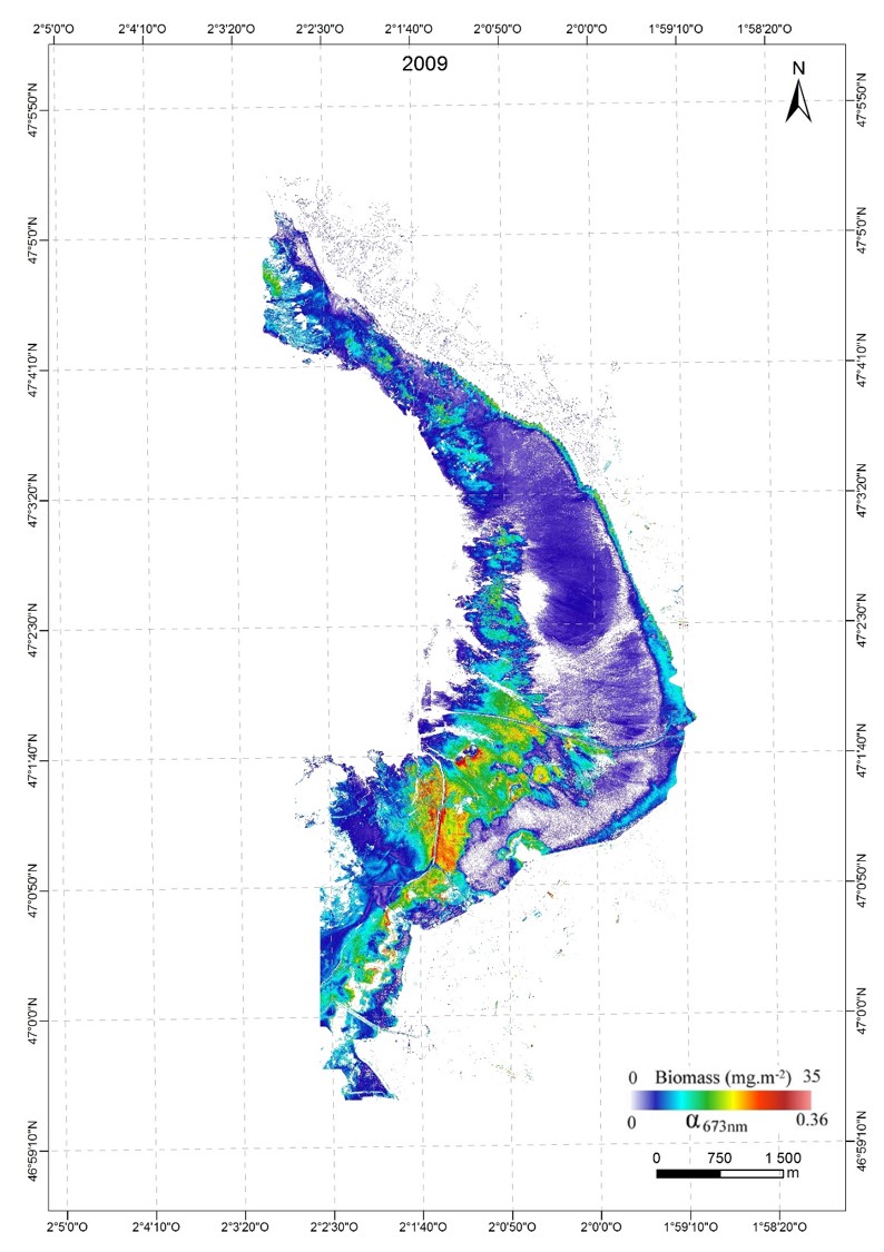
A new approach to mapping based on an optical model was developed and used from hyperspectral aerial images to determine the biofilm microphytobenthos and estimate their biomass in confined mudflats
 Geopal